Do you dream of climbing the legendary passes of the Tour de France? Follow the guide, we have selected for you 9 famous passes of the Grande Boucle.
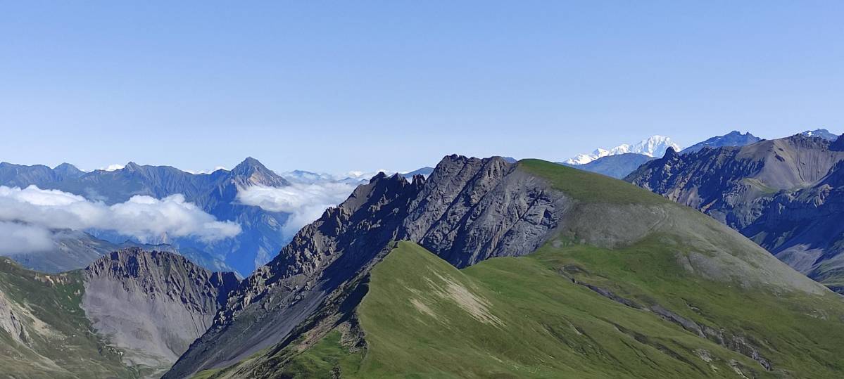
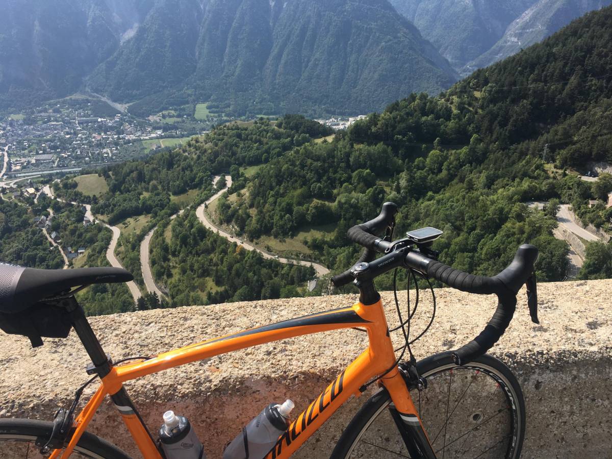
Col du Galibier
Location : Alps
Distance : 34,8 km
Elevation gain : 2096 m
Average slope : 7 %
Maximum slope : 12 %
The north side of the Galibier is the most known and the most difficult. The first part consists in climbing the Telegraph pass (1566 m): 12 km from Saint Michel de Maurienne at 7,1 %. A stop in Valloire is recommended to refuel before attacking the rest. The second section is 18 km long, at 6.9%.
In some places, the slope is 12%. After more than 3 hours of effort, you will be rewarded by the magnificent panorama: the Meije, the Barre des Écrins, the Pelvoux... The summit of the Galibier pass marks the separation between Savoie and Hautes-Alpes.
It is in 1911 that the Tour de France crossed the Galibier for the first time.
Col de La Madeleine
Location : Alps
Distance : 19,8 km
Elevation gain: 1520 m
Average gradient: 7,7 %
Maximum slope : 12,5 %
From the village of La Chambre, on the south side, the climb starts with a kilometer at 6%, but the slope quickly gets harder with percentages of 8 to 9%. The climb offers few opportunities to recover, but allows you to keep a steady pace, despite some passages at more than 12%, especially at the 11th kilometer.
The ascent is mostly done on the edge of the forest and the end of the pass, through the Alpages, allows you to enjoy a magnificent 360° view on the summits and even to see the Mont-Blanc.
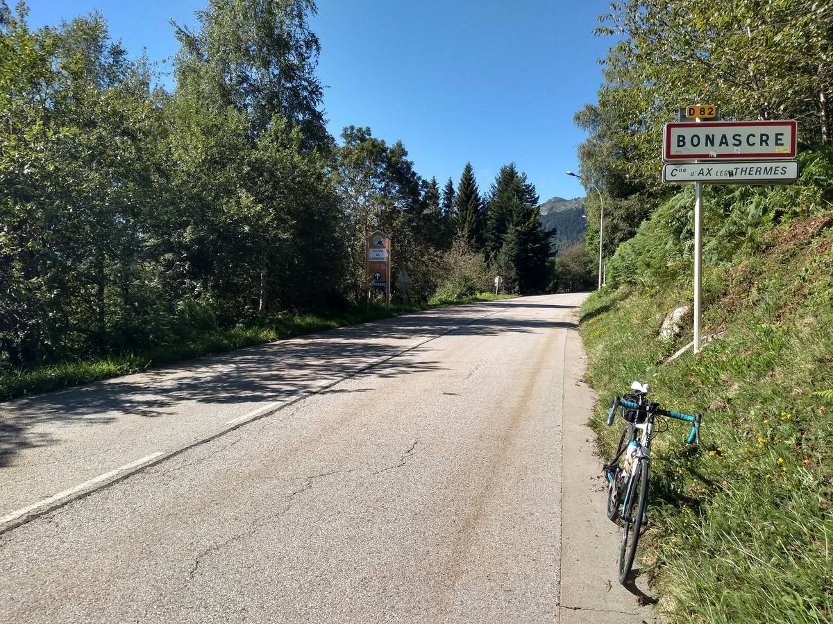
Ax-3-Domaines
Location : Pyrenees
Distance : 7,8 km
Elevation gain : 944 m
Average slope : 6,6 %
Maximum slope: 10 %
A mere 8 kilometers of climbing may seem short, but make no mistake: with an average slope of over 8%, the effort required is substantial.
From Ax-les-Thermes, you will be immediately in the bath since the 8,5% laces quickly rise in front of you in the first kilometer, followed by a second kilometer at 9%.
You can then take a breather as the slope softens for 2 km before the 5th km, the hardest at 10.5%! Then you have to go through passages at 8 and then 10% when you enter the village of Bonascre, before the slope softens at the end of the climb.
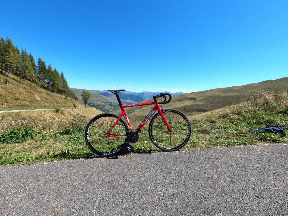
Col de Peyresourde
Location : Pyrenees
Distance : 14,3 km
Elevation gain : 944 m
Average slope : 6,6 %
Maximum slope : 10 %
The Peyresourde pass is as mythical as it is challenging. The road to the summit has many straight lines that are a bit hard to take... At the start of Bagnères de Luchon, the first big difficulty appears after the Debach bridge, with an 8% to climb.
If you are a little out of breath and want to stop, do it at Saint-Aventin, after 5,5 km, where you can visit a beautiful church. After 1.5 km, the second half of the trail begins, which is particularly long, with an average gradient of 8.1%.
After Portet de Luchon, there are 3 hairpin bends towards the end of the climb which, despite the still tiring steepness, brings some saving shadows and a superb panorama. In Gascon, Peyresourde means "The stone that springs".
Alpe d'Huez
Location : Alps
Distance : 13,8 km
Elevation gain : 1090 m
Average slope : 7,9 %
Maximum slope : 13 %
With its 21 switchbacks (numbered backwards), the Alpe d'Huez is one of the most complicated mountain climbs. And it starts very strong: after one kilometer, it is a wall of 10,6% which rises in front of you on 2 km, the steepest slope of the course... Then, on 4 km, it will not be necessary to slacken the effort, because you climb to 8%.
Between the church of Saint-Férréol and Huez, you start again at 9.4%, on a road without any shade. After the last bend, you still have a few meters to go, on a milder profile, before crossing the virtual finish line on the Avenue du Rif-Nel, in front of the Hotel Chaix.
At the top, admire the view of the Meije and Écrins massifs.
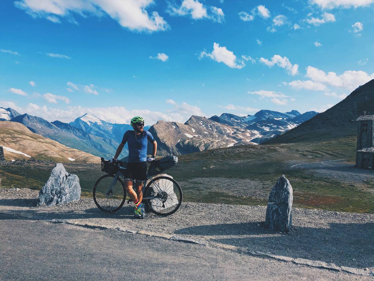
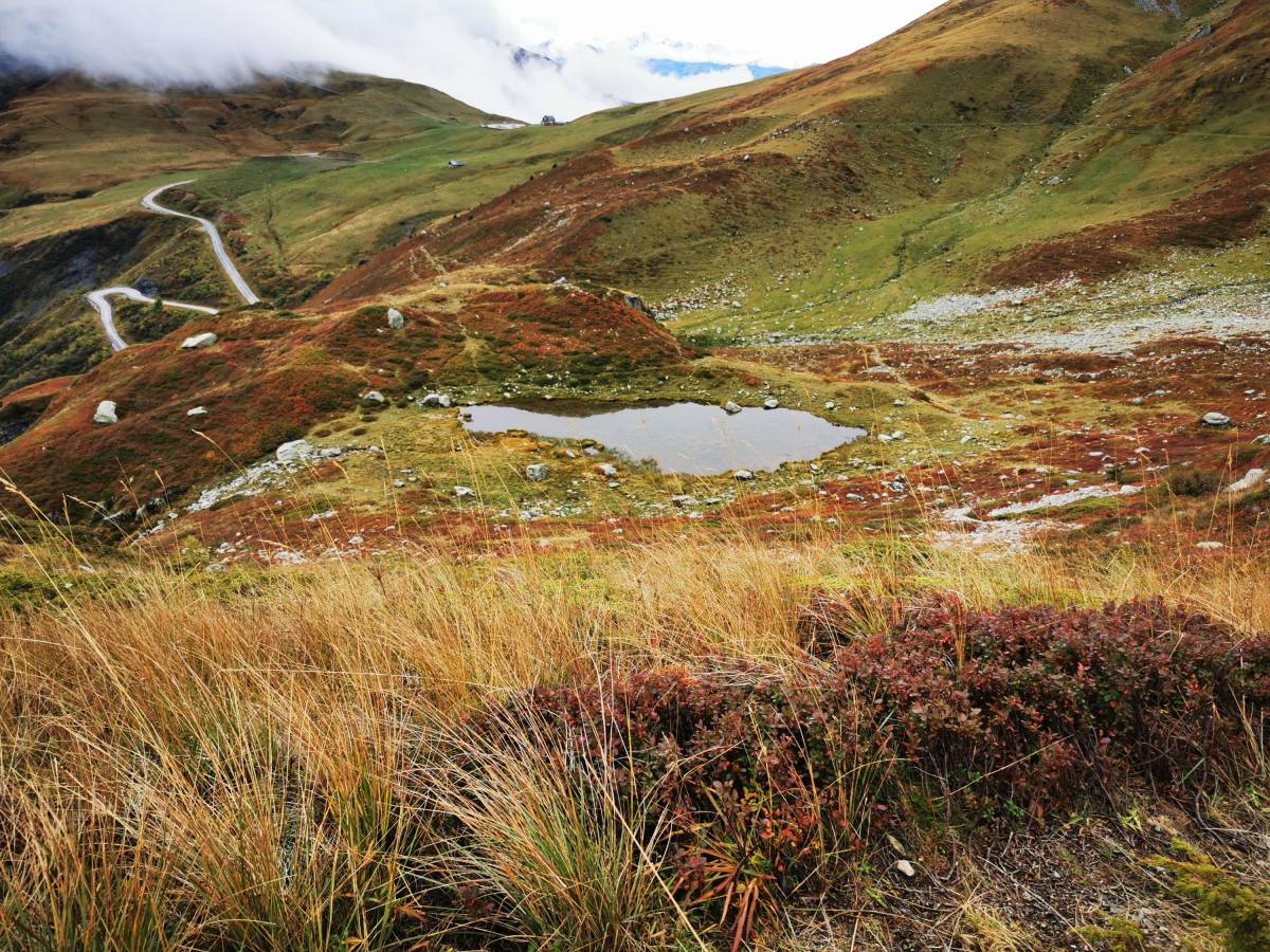
Col de l'Iseran
Location : Alps
Distance : 48km
Elevation gain : 1955 m
Average slope : 4,1 %
Maximum slope : 6,9 %
From Bourg Saint Maurice, the ascent of the Iseran pass is one of the longest in France. It is a climb that it is better to cross in rhythm, the average slope not being spectacular. Beware of the last kilometer, which has an 8% gradient.
But if you have managed your effort well, you should have some strength left to overcome this last difficulty and enjoy the view on the Tarentaise valley and the lake of Tignes.
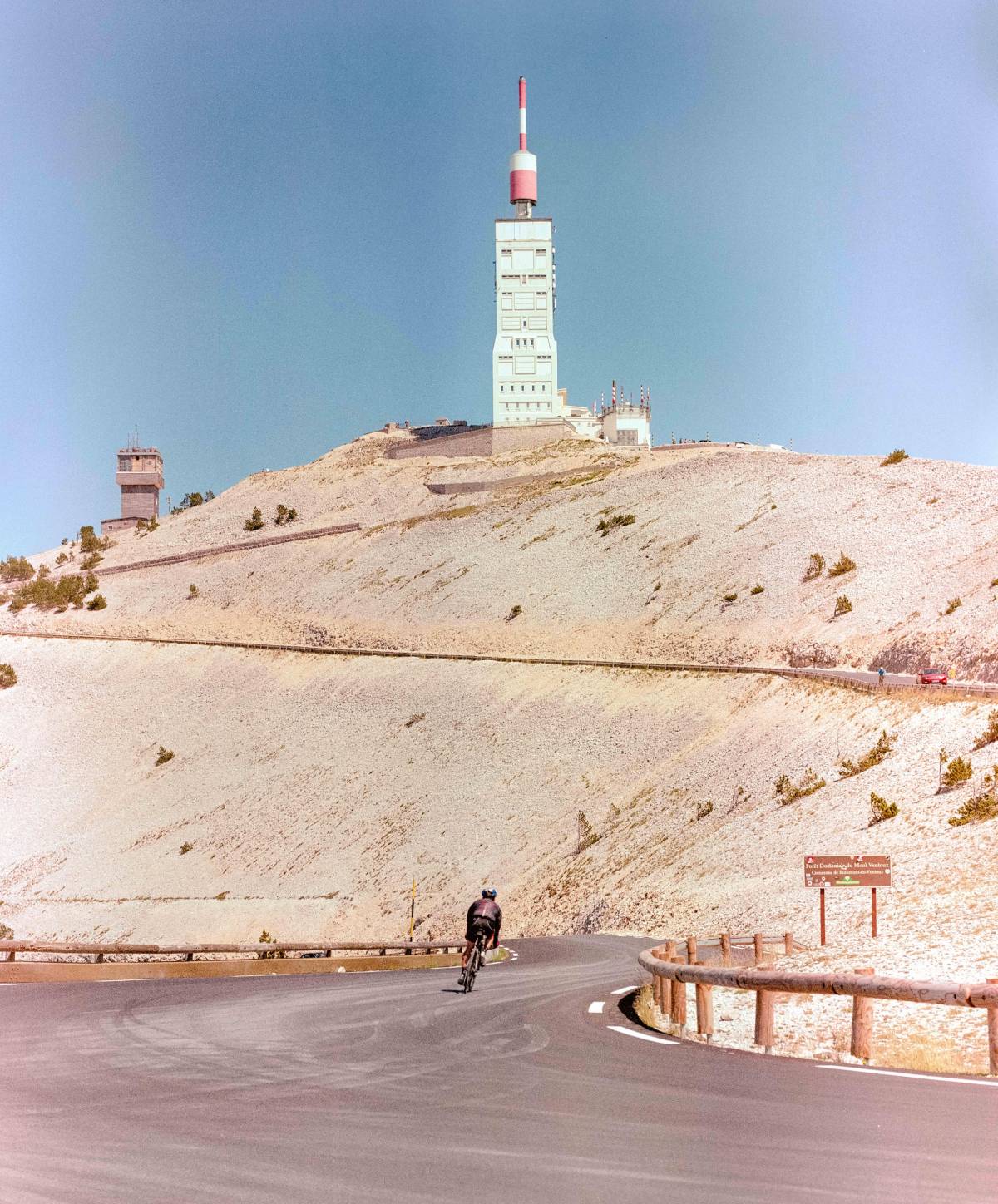
The Ventoux
Location : Alps
Distance : 21,5 km
Elevation gain : 1609 m
Average slope : 7,6 %
Maximum slope : 10,7 %
There are 3 possible ascents of Mont Ventoux. The one on the south side, starting from Bédoin, is the hardest.
The first 6 km are easy to climb, but the difficulties appear after Saint-Estève.
From km 8 on and until Chalet-Reynard, the climb never goes below 9%, with a peak at 10.7%. The only compensation: this part of the route is done in the shade of the forest. Then, the trees give way to a rocky landscape and 6 km of very difficult terrain!
The last 1000 meters are climbed at an average of 9%. At the top of the pass is a weather observatory.
The Mont Ventoux road was built in 1882 to serve it.
Col du Tourmalet
Location: Pyrenees
Distance : 17,1 km
Positive difference in altitude: 1275 m
Average slope : 7,5 %
Maximum slope : 11 %
The Tourmalet (which means "bad detour") has been climbed more than 75 times by the Tour de France peloton? You can't go up this demanding pass without a good training.
After leaving Saint-Marie de Campan, the serious stuff starts in Grippe. From there on, the slope will not go below 8%. The 5 km before LavMongie are even at 10,2%.
Another 4 km at 9.2% and you arrive at the foot of the famous Tourmalet sculpture. This is also where a stele is erected in memory of Jacques Goddet, former director of the Tour.
At the top, you can see the Ardiden peak, the Bailatous glacier, the Campana, Espade and Tourmalet peaks.
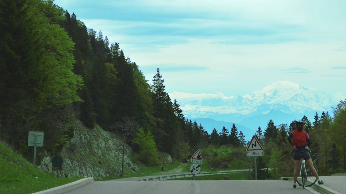
Col de la Faucille
Location : Jura
Distance : 11,6 km
Elevation gain : 703 m
Average slope : 6,1 %
Maximum gradient: 8,1 %
The Tour de France has passed through the Faucille pass in the Jura 41 times. The ascent of its eastern side starts in Gex. After 1.7 km of straight road, a series of twists and turns begins.
At the bend in the road, you can discover Florimont, Lake Geneva or the snow-covered Alps below. After 7.5 km at an average of 6%, you arrive at the Napoleon Fountain, which reminds you that the road was created during the Empire.
Take the opportunity to stop and drink the fresh water of the fountain, because the last pedal strokes will be hard... The next 3 km are between 7 and 8 %. Have courage!
The final stretch is then cooler, with a 5% climb.
Our advices :
Before leaving, make sure you are properly equipped. Helmet, sunglasses, sun cream, water bottles, windbreaker, first aid kit (patches, glue, pump...), snacks... are essential before starting to climb a pass.
Have a good trip!
Autres actualités
- Outdoor
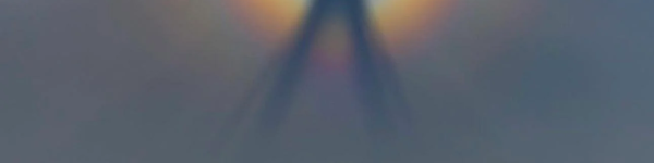
Brocken's spectrum, a mysterious optical phenomenon visible in the mountains
The Brocken Spectrum is named after Brocken, the highest peak in Germany's Harz Mountains, where the phenomenon has been frequently observed and described. The term “Brocken” refers to this specific location, but the phenomenon itself can occur on any mountain or ridge.
- Outdoor
Skin Cancer: The Most Common Cancer in France - A Call for Better Sun Protection
The National Union of Dermatologists-Venereologists (SNDV) reveals an exclusive survey on the sun protection habits of the French, coinciding with the 27th edition of the Skin Cancer Screening and Awareness Week, taking place from June 10 to 16, 2024. This campaign aims to raise awareness about the dangers of UV rays and promote protective behaviors.